From individual sites to the complete portfolio picture.
CS brings every site in a portfolio into a single geographic view. Each asset is assessed in its geographic context using a consistent methodology, regardless of its location, footprint or the number of sites involved.
Our data pipelines and artificial intelligence models automate the analysis of each site, consolidate the findings and highlight assets that require particular attention.
At portfolio scale, the solution can:
- Compare every site using consistent criteria
- Quickly identify assets requiring deeper analysis
- Prioritise studies, inspections and interventions
- Monitor changes across the portfolio over time
- Document decisions across an organisation
- Build a central source of territorial intelligence for every asset
Industrial organisations, infrastructure operators, investors, insurers and public bodies gain a consolidated view that turns thousands of site-level assessments into clear, actionable priorities.
European portfolio24 sites analysed
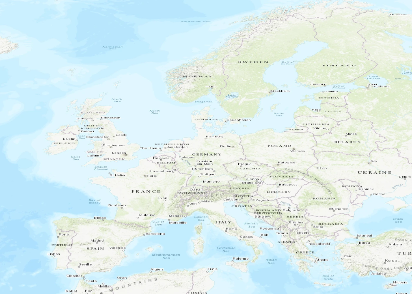
Consolidated view
3sites flagged for review
21sites monitored
MonitoredPriority