Understand today’s land cover. Reveal how it is changing.
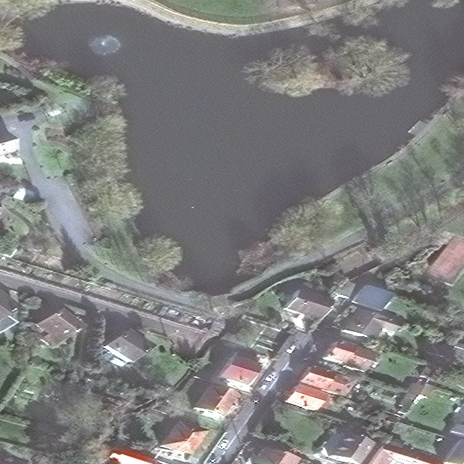
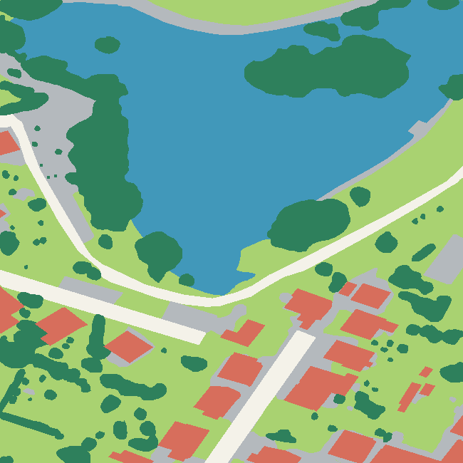
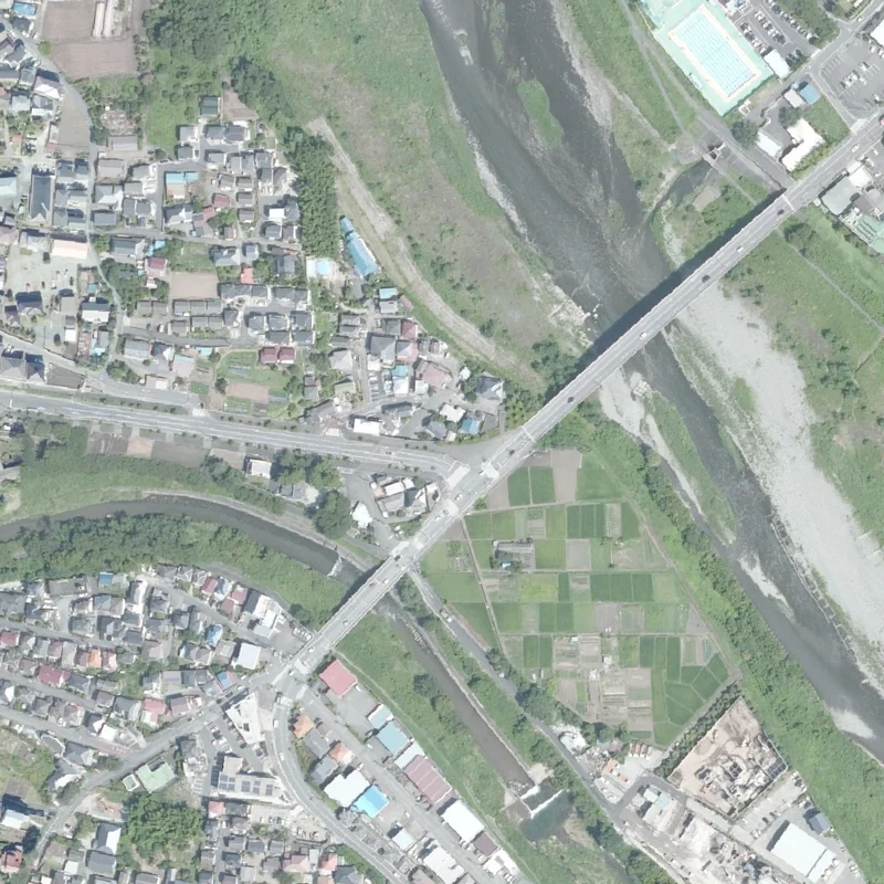
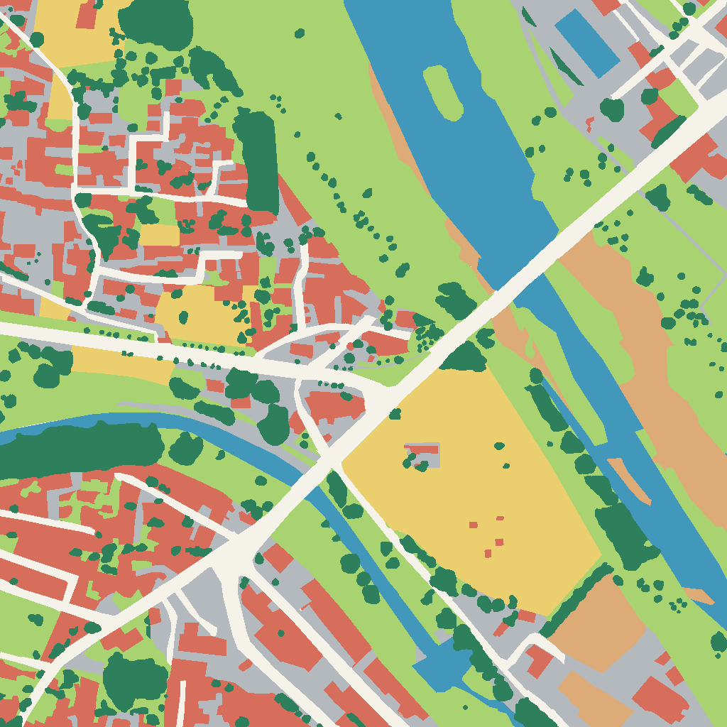
Using satellite and aerial imagery, our artificial intelligence models, developed in-house at CS, automatically produce consistent land-cover maps of built-up areas, vegetation, water, bare ground and infrastructure in moments—anywhere in the world and at resolutions as fine as 20 cm.
From a single parcel to an entire region, this mapping can:
- Create a consistent baseline for any territory
- Measure vegetation cover and assess its condition through spectral analysis
- Quantify soil sealing and impervious surfaces
- Map land cover around networks and infrastructure
Local authorities, developers, infrastructure operators, industrial organisations and environmental bodies gain reliable, repeatable intelligence to prioritise studies, inspections and interventions.
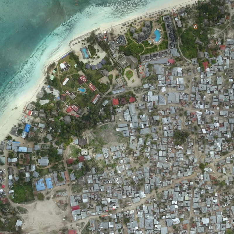
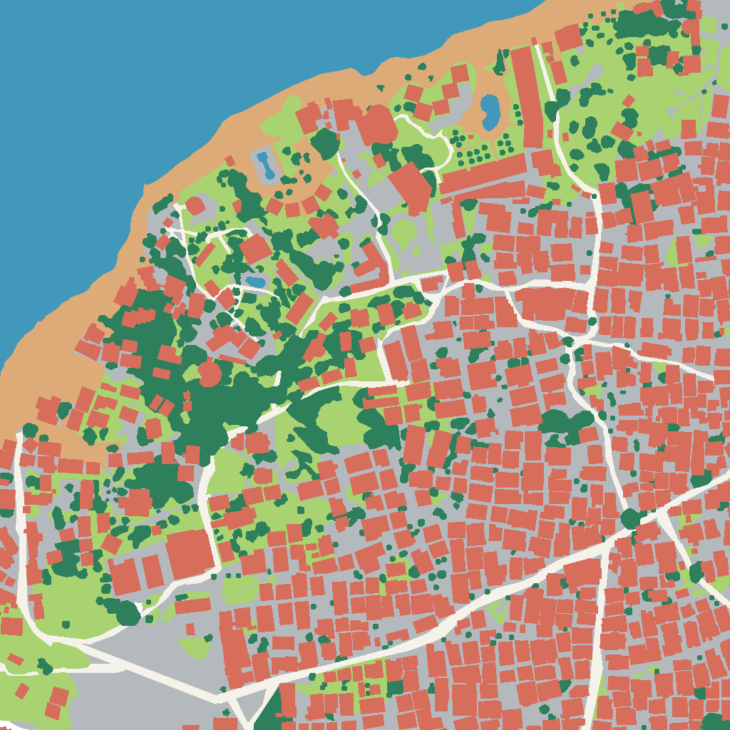
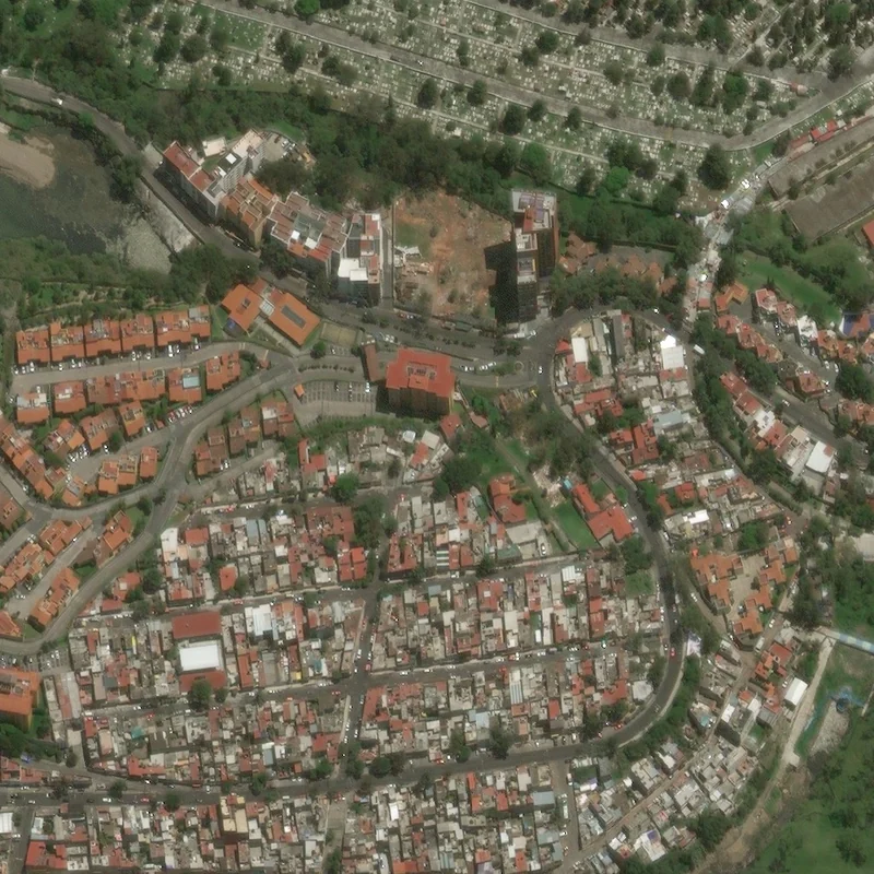
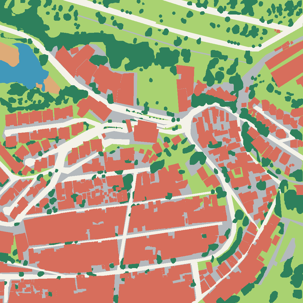
Make every transformation measurable.
Our models automatically compare imagery acquired at different dates, locate significant changes and precisely map their footprint. This time-series analysis is produced in moments, for an individual site or an entire region.
This temporal analysis can:
- Track construction progress
- Measure land take and urban expansion
- Assess the impact of natural disasters and monitor recovery
- Detect land clearing
- Monitor changes affecting infrastructure, agricultural land and natural environments
Local authorities, developers, infrastructure operators, industrial organisations and environmental bodies gain an objective, updatable view of how territories are changing—enabling them to anticipate, inspect and document each transformation.
Explore the solution for your territory